Last Day in New Zealand

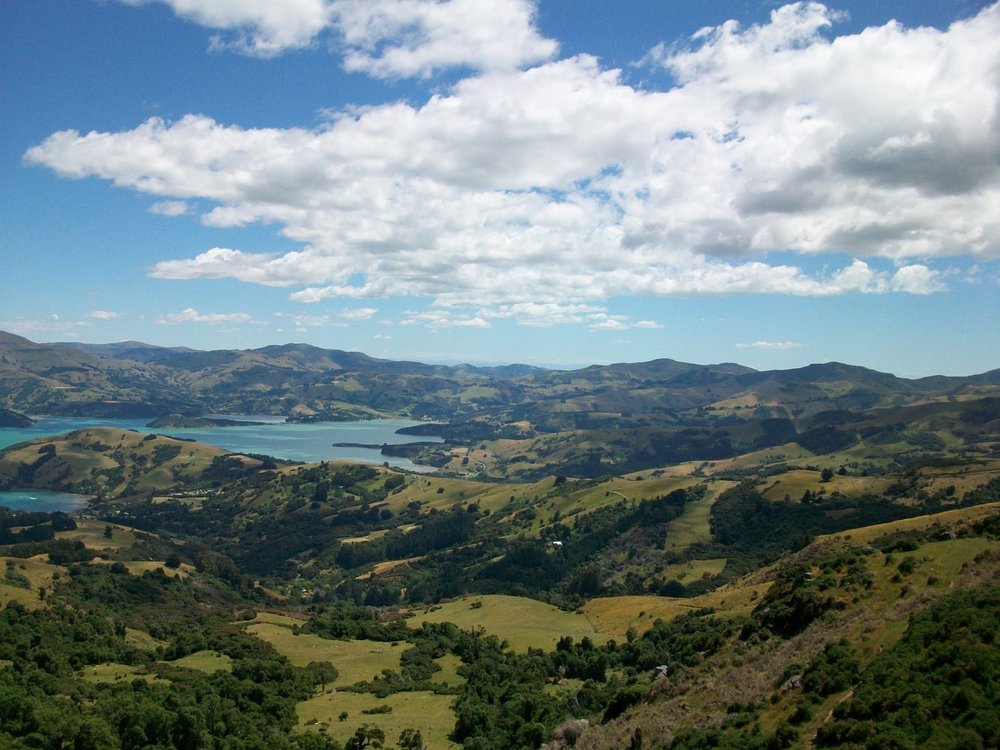
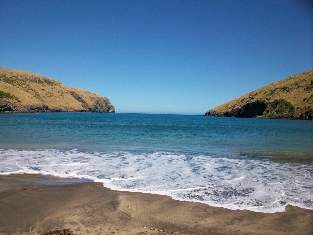
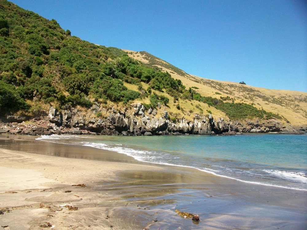
My first of three back-to-back flights home leaves Christchurch in about 9 hours.  I've got some re-packing to do, but I wanted to chronicle my last day in New Zealand before signing off.  We headed up to Arthur's Pass (the site of my two-day Avalanche Peak hike last year) to do some relatively mild trekking.  It was another gorgeous day and we got some great advice from a visitor center worker who suggested doing the Bealey Spur Track, which took us up a ridge just out of town that provided some spectacular views of the local scenery.  Pictures follow.  Enjoy.

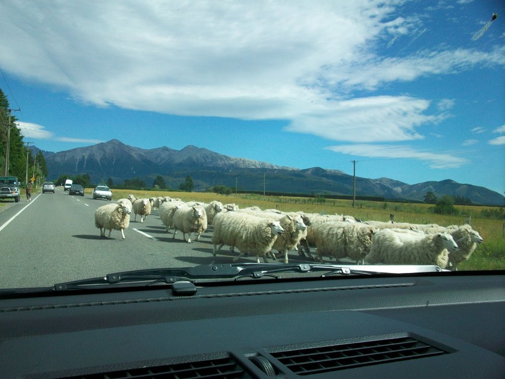
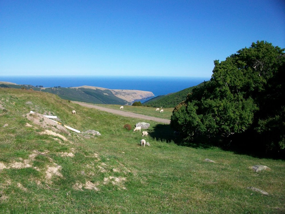
On the drive there some sheep got out on the road.  You hear it all the time, but it's true: New Zealand has a ton of sheep. 

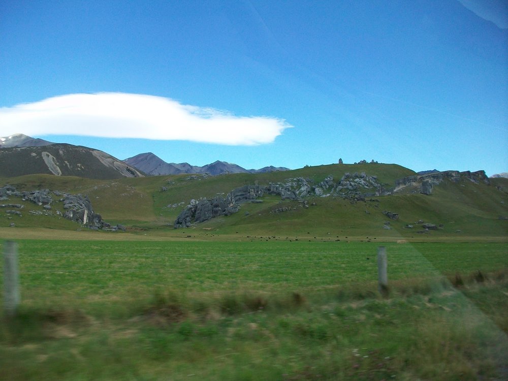
Some cool rocks on the way to Arthur's Pass.

The visitor center in Arthur's Pass.

The hike started out in a forest.

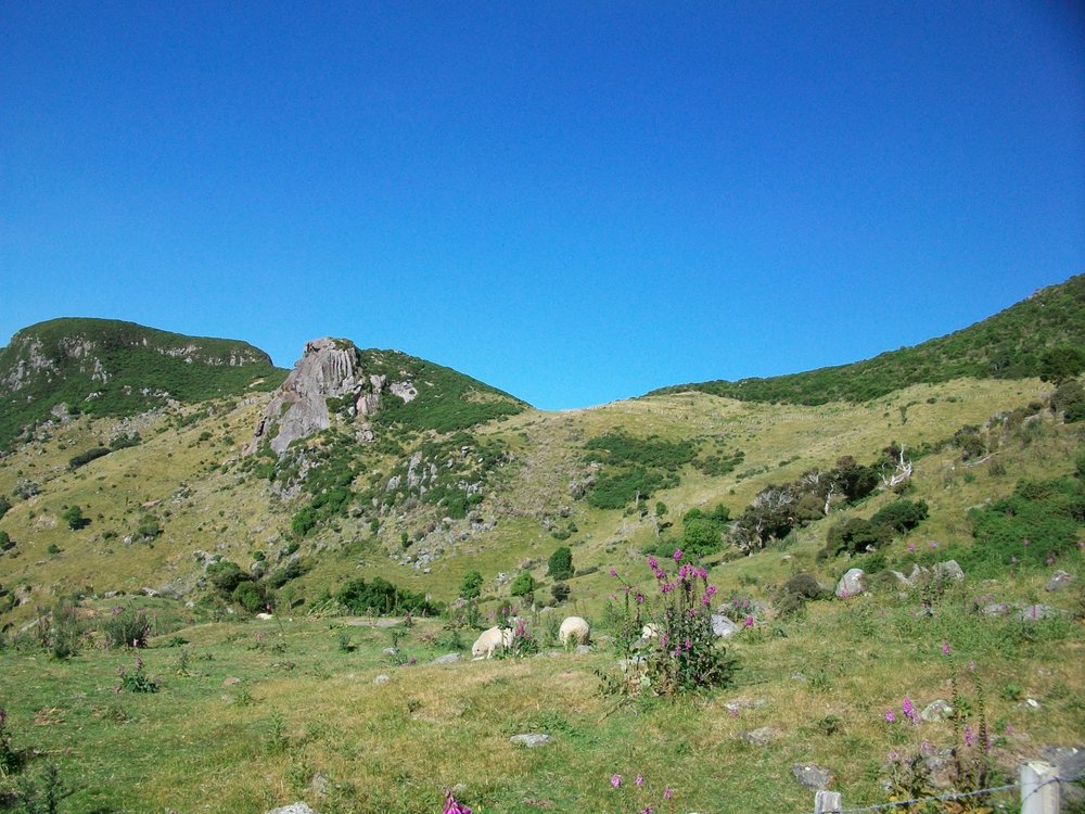
After about an hour or so we started intermittently popping out of the trees to start getting views of the local mountains.

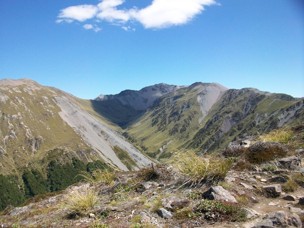
Jagged rocks and far-off ridges on the Bealey Spur Track.

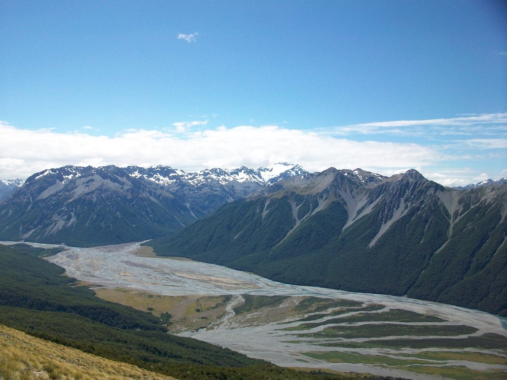
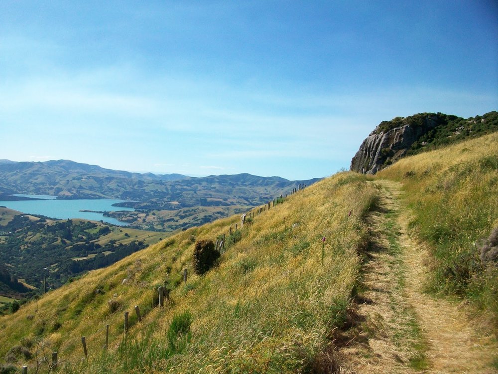
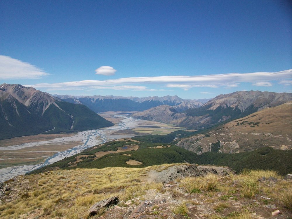
The view from the top.  I actually hiked down the river valley shown last year on day two of the my Avalanche Peak hike.  We stayed at an overnight hut up the valley that forks right (just left of center of the picture), and then we hiked all the way down this river bed over rocks and boulders and the twisting river until we got back to the road, off the picture on the right.

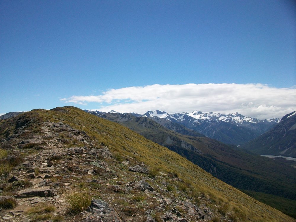
Snow-capped mountain view from the top of Bealey Spur.

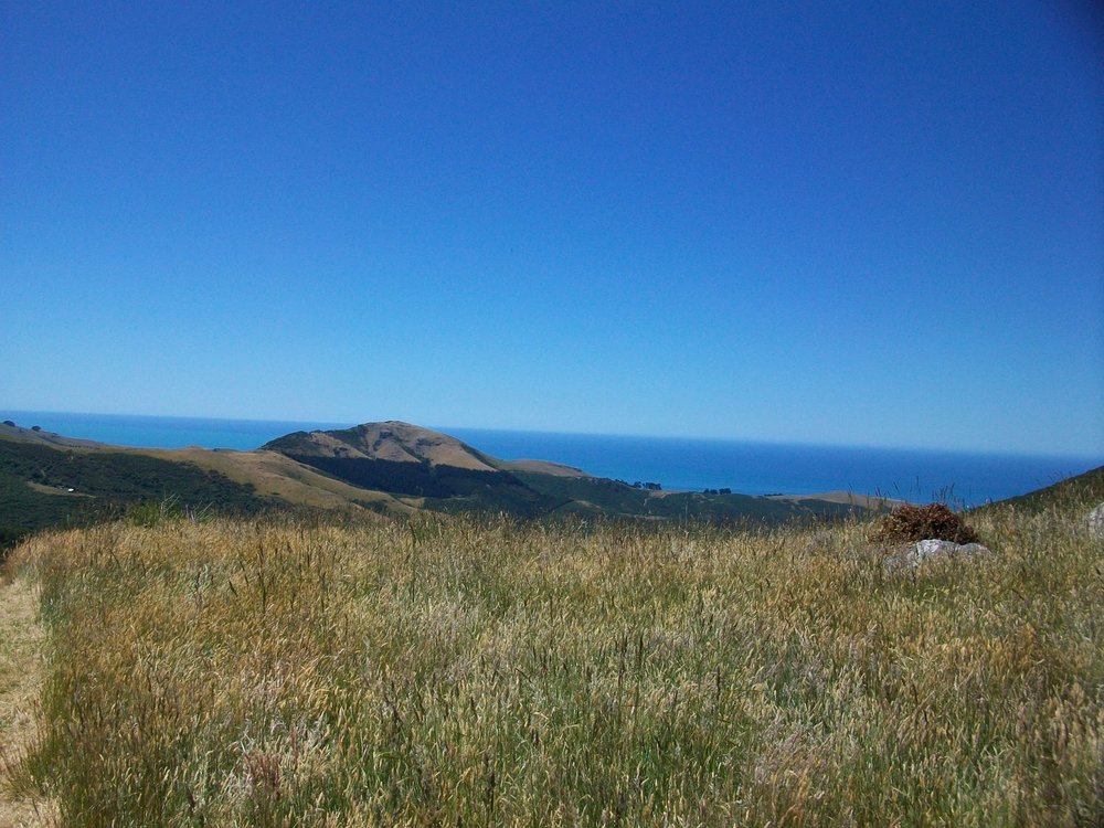
Stunning view all the way around.

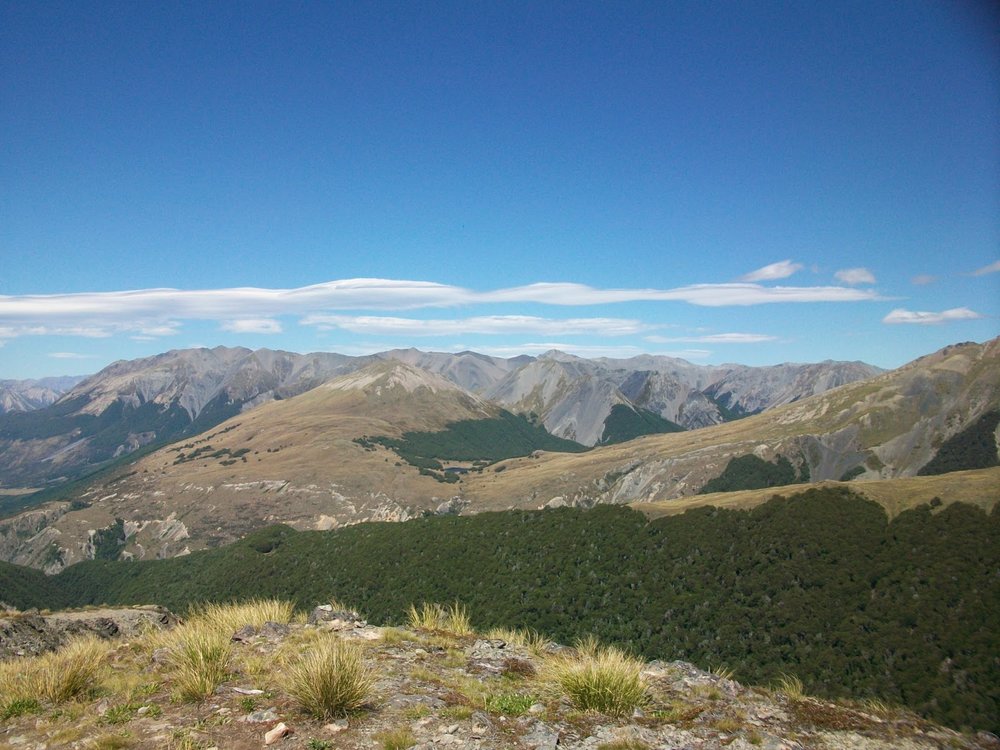
A river valley across the way on the other side of Bealey Spur.

This twisting river ends just outside of Christchurch, a 140 km drive away.

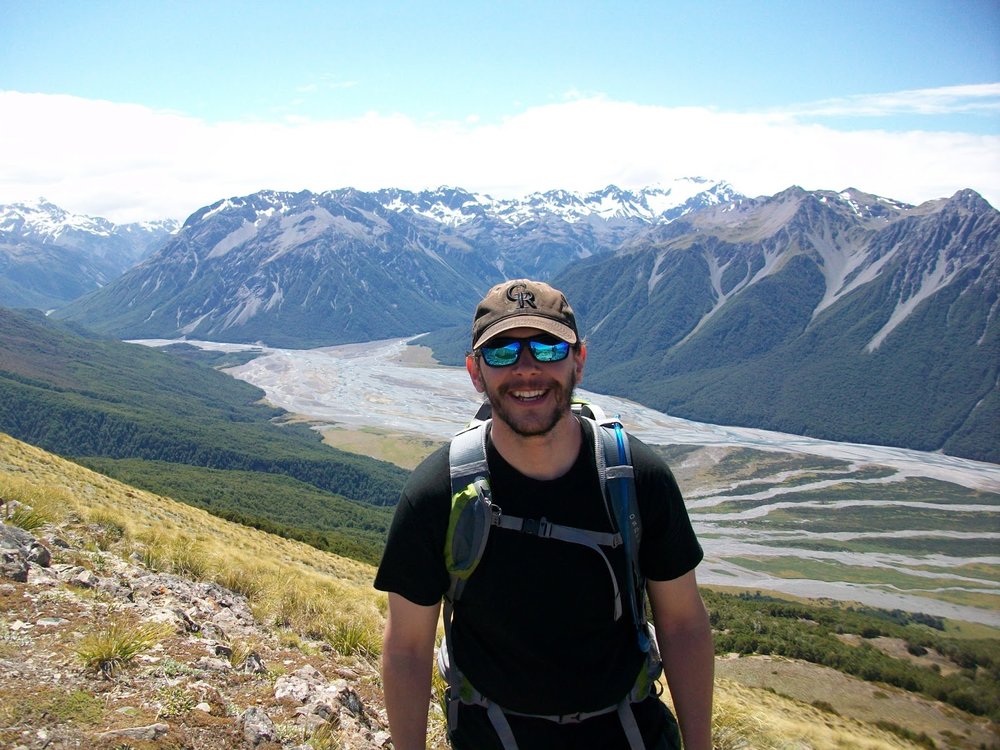
Me at the top.  So long, New Zealand!

Akaroa and Banks Peninsula

With two days to burn in New Zealand Brad, Liz, and I rented and car and drove about an hour out of Christchurch to the town of Akaroa, which is on volcanic Banks Peninsula.  We hiked a trail that took us more or less from town, over the crest of the peninsula, down the other side to the Pacific Ocean, and back to our car.  The guide book said the hike should take 3-5 hours one way, but we did the whole thing in less than six (but we stopped for an extra hour to eat lunch on the beach).  Not too bad!  There's no point in me describing this with too many words.  Just enjoy the pictures!

Believe it or not, this place is real.  About 30 minute into the hike.

I was all over New Zealand last year and saw some great stuff.  But there are still nuggets like this everywhere.  Too much to see in this country.

The town of Akaroa descends as we approach the high point of the peninsula.

Liz climbing up the path.  I didn't realize how steep the first part of this hike was until later in the day when we were coming back down. 

Almost to the top.

Looking down over Akaroa from the top of the Banks peninsula.

From the top, 180 degrees away from Akaroa is the Pacific Ocean.  Now we just had to get down there...

After a steep descent through a red birch forest, following a river for several kilometers, and walking through several fields full of sheep, we make it to the ocean!

Local birds by the water.

Waves coming up the shore.  Hike is halfway done.  Now for the return...

The bay at which we ate lunch.

Coming back over the peninsula now.  We crossed through many active sheep prairies. 

Sheep grazing near the top of the peninsula with the Pacific Ocean in the background.

Akaroa reappears during late afternoon as we crest the top of the peninsula again. 

Seriously.... this place is real.

Looking back at the crest of Banks peninsula.

Akaroa awaits us.